
Poona Piagapo topographic map
Click on the map to display elevation.
About this map
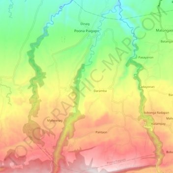
Name: Poona Piagapo topographic map, elevation, terrain.
Location: Poona Piagapo, Lanao del Norte, Northern Mindanao, Philippines (8.04342 124.07873 8.15217 124.16512)
Average elevation: 474 m
Minimum elevation: 76 m
Maximum elevation: 922 m
Other topographic maps
Click on a map to view its topography, its elevation and its terrain.