
Andra topographic map
Interactive map
Click on the map to display elevation.
About this map
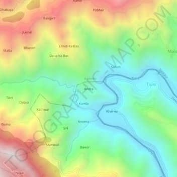
Name: Andra topographic map, elevation, terrain.
Location: Andra, Paonta Sahib, Sirmaur, Himachal Pradesh, 173029, India (30.58004 77.71930 30.62004 77.75930)
Average elevation: 1,024 m
Minimum elevation: 568 m
Maximum elevation: 1,763 m