
Namur topographic map
Interactive map
Click on the map to display elevation.
About this map
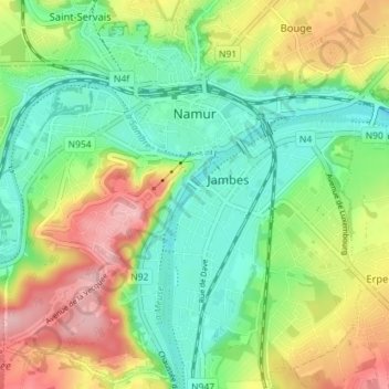
Name: Namur topographic map, elevation, terrain.
Location: Namur, Wallonia, 5000, Belgium (50.43536 4.83072 50.47888 4.90182)
Average elevation: 125 m
Minimum elevation: 67 m
Maximum elevation: 218 m