
Chazelles topographic map
Interactive map
Click on the map to display elevation.
About this map
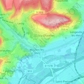
Name: Chazelles topographic map, elevation, terrain.
Average elevation: 219 m
Minimum elevation: 161 m
Maximum elevation: 359 m
Other topographic maps
Click on a map to view its topography, its elevation and its terrain.
Mont Saint-Quentin
France > Grand Est > Moselle > Scy-Chazelles
Mont Saint-Quentin, Scy-Chazelles, Metz, Moselle, Grand Est, France métropolitaine, 57160, France
Average elevation: 237 m