
Amiret topographic map
Interactive map
Click on the map to display elevation.
About this map
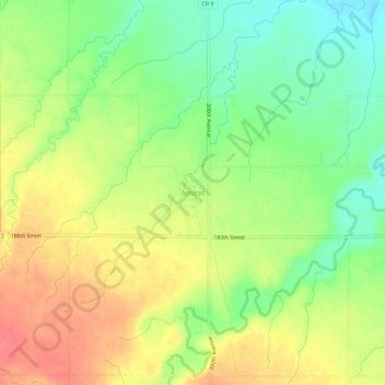
Name: Amiret topographic map, elevation, terrain.
Location: Amiret, Lyon County, Minnesota, États-Unis d'Amérique (44.29663 -95.71696 44.33663 -95.67696)
Average elevation: 388 m
Minimum elevation: 356 m
Maximum elevation: 420 m