
Sabaya topographic map
Interactive map
Click on the map to display elevation.
About this map
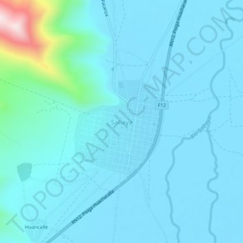
Name: Sabaya topographic map, elevation, terrain.
Location: Sabaya, Provincia Sabaya, Oruro, Bolivia (-19.03477 -68.39292 -18.99477 -68.35292)
Average elevation: 3,742 m
Minimum elevation: 3,685 m
Maximum elevation: 4,258 m
Other topographic maps
Click on a map to view its topography, its elevation and its terrain.