
Haslen topographic map
Interactive map
Click on the map to display elevation.
About this map
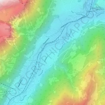
Name: Haslen topographic map, elevation, terrain.
Location: Haslen, Glarus, 8773, Schweiz (46.96026 9.03620 47.00026 9.07620)
Average elevation: 934 m
Minimum elevation: 515 m
Maximum elevation: 1,943 m