
Immokalee topographic map
Interactive map
Click on the map to display elevation.
About this map
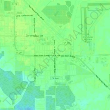
Name: Immokalee topographic map, elevation, terrain.
Location: Immokalee, Collier County, Florida, 34143, USA (26.39869 -81.43730 26.43869 -81.39730)
Average elevation: 11 m
Minimum elevation: 3 m
Maximum elevation: 15 m