
Las Vegas National Wildlife Refuge topographic map
Interactive map
Click on the map to display elevation.
About this map
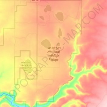
Name: Las Vegas National Wildlife Refuge topographic map, elevation, terrain.
Average elevation: 1,981 m
Minimum elevation: 1,840 m
Maximum elevation: 2,054 m