
Thank you for supporting this site ❤️
Make a donation
Make a donation
Ferrera topographic map
Click on the map to display elevation.
Thank you for supporting this site ❤️
Make a donation
Make a donation
About this map
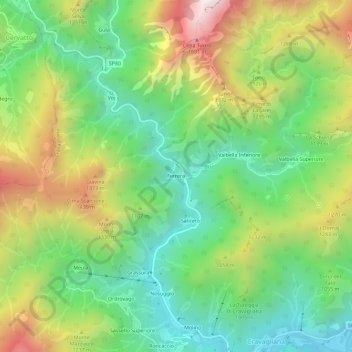
Name: Ferrera topographic map, elevation, terrain.
Location: Ferrera, Cravagliana, Vercelli, Piemonte, 13025, Italia (45.84720 8.16796 45.88720 8.20796)
Average elevation: 1,019 m
Minimum elevation: 587 m
Maximum elevation: 1,714 m
Thank you for supporting this site ❤️
Make a donation
Make a donation