
Charlottetown topographic map
Interactive map
Click on the map to display elevation.
About this map
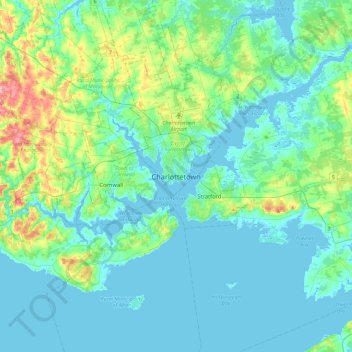
Name: Charlottetown topographic map, elevation, terrain.
Average elevation: 21 m
Minimum elevation: -3 m
Maximum elevation: 121 m
Other topographic maps
Click on a map to view its topography, its elevation and its terrain.
Moores Pond
Canada > Prince Edward Island > Charlottetown
Moores Pond, Charlottetown, Queens County, Prince Edward Island, Canada
Average elevation: 17 m