
Khandela topographic map
Click on the map to display elevation.
About this map
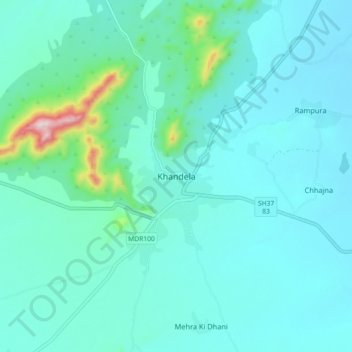
Name: Khandela topographic map, elevation, terrain.
Location: Khandela, Khandela Tehsil, Sikar, Rajasthan, 332709, India (27.56500 75.46159 27.64500 75.54159)
Average elevation: 510 m
Minimum elevation: 451 m
Maximum elevation: 892 m