
Rottum topographic map
Interactive map
Click on the map to display elevation.
About this map
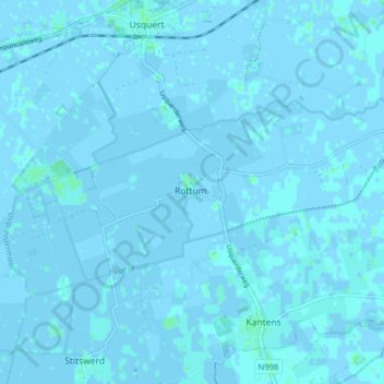
Name: Rottum topographic map, elevation, terrain.
Location: Rottum, Het Hogeland, Groningen, Niederlande (53.36428 6.58302 53.39946 6.66179)
Average elevation: 0 m
Minimum elevation: -3 m
Maximum elevation: 3 m
Other topographic maps
Click on a map to view its topography, its elevation and its terrain.
Zoutkamp
Niederlande > Groningen > Het Hogeland
Zoutkamp, Het Hogeland, Groningen, Niederlande
Average elevation: 0 m