
Ferentillo topographic map
Interactive map
Click on the map to display elevation.
About this map
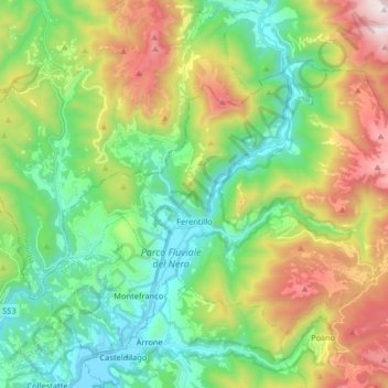
Name: Ferentillo topographic map, elevation, terrain.
Location: Ferentillo, Terni, Umbrië, 05034, Italië (42.58634 12.73344 42.67212 12.89620)
Average elevation: 669 m
Minimum elevation: 217 m
Maximum elevation: 1,559 m
Other topographic maps
Click on a map to view its topography, its elevation and its terrain.