
ເມືອງປາກແຊງ topographic map
Interactive map
Click on the map to display elevation.
About this map
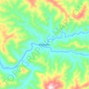
Name: ເມືອງປາກແຊງ topographic map, elevation, terrain.
Location: ເມືອງປາກແຊງ, Province de Louangphabang, Laos (20.12659 102.62765 20.20659 102.70765)
Average elevation: 591 m
Minimum elevation: 334 m
Maximum elevation: 1,164 m