
Iluppur topographic map
Click on the map to display elevation.
Iluppur
Iluppur is located at 10°31′N 78°38′E / 10.52°N 78.63°E / 10.52; 78.63. It has an average elevation of 142 metres (465 feet).
About this map
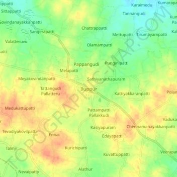
Name: Iluppur topographic map, elevation, terrain.
Average elevation: 141 m
Minimum elevation: 121 m
Maximum elevation: 159 m
Other topographic maps
Click on a map to view its topography, its elevation and its terrain.