
Kalarwas topographic map
Click on the map to display elevation.
About this map
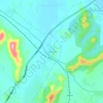
Name: Kalarwas topographic map, elevation, terrain.
Location: Kalarwas, Girwa Tehsil, Udaipur District, Rajasthan, India (24.51893 73.74442 24.55893 73.78442)
Average elevation: 583 m
Minimum elevation: 546 m
Maximum elevation: 750 m
Other topographic maps
Click on a map to view its topography, its elevation and its terrain.