
Mandhol topographic map
Click on the map to display elevation.
About this map
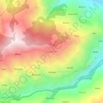
Name: Mandhol topographic map, elevation, terrain.
Location: Mandhol, Jubbal, Shimla District, Himachal Pradesh, India (31.11437 77.69048 31.15437 77.73048)
Average elevation: 2,019 m
Minimum elevation: 1,453 m
Maximum elevation: 2,601 m