
Lohar topographic map
Click on the map to display elevation.
About this map
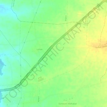
Name: Lohar topographic map, elevation, terrain.
Location: Lohar, Dewas Tahsil, Dewas District, Madhya Pradesh, India (22.90497 75.97961 22.92124 76.00822)
Average elevation: 522 m
Minimum elevation: 506 m
Maximum elevation: 534 m