
Montagne de Langres topographic map
Interactive map
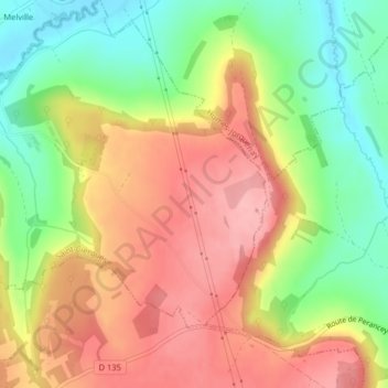
Click on the map to display elevation.
About this map
Name: Montagne de Langres topographic map, elevation, terrain.
Average elevation: 398 m
Minimum elevation: 330 m
Maximum elevation: 459 m
Other topographic maps
Click on a map to view its topography, its elevation and its terrain.
Barrage du Lac de la Mouche
France > Grand Est > Haute-Marne > Saint-Ciergues
Average elevation: 391 m