
嘎达布其镇 topographic map
Interactive map
Click on the map to display elevation.
About this map
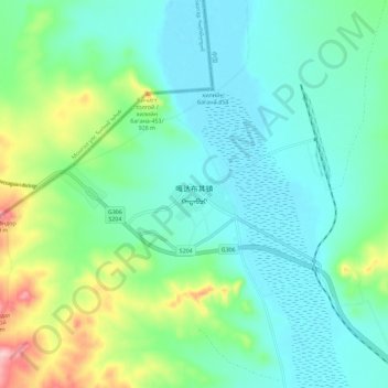
Name: 嘎达布其镇 topographic map, elevation, terrain.
Location: 嘎达布其镇, 东乌珠穆沁旗, 锡林郭勒盟, 内蒙古自治区, 中国 (45.70893 116.23453 45.78893 116.31453)
Average elevation: 836 m
Minimum elevation: 790 m
Maximum elevation: 985 m