
淝河镇 topographic map
Interactive map
Click on the map to display elevation.
About this map
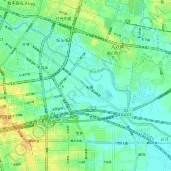
Name: 淝河镇 topographic map, elevation, terrain.
Location: 淝河镇, 包河区, 安徽省, 中国 (31.79528 117.31609 31.84597 117.40349)
Average elevation: 15 m
Minimum elevation: 5 m
Maximum elevation: 32 m
Other topographic maps
Click on a map to view its topography, its elevation and its terrain.