
Thank you for supporting this site ❤️
Make a donation
Make a donation
Winterborne Kingston topographic map
Click on the map to display elevation.
Thank you for supporting this site ❤️
Make a donation
Make a donation
About this map
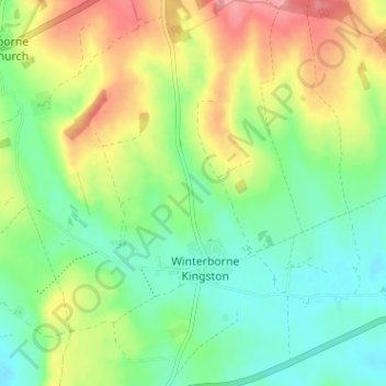
Name: Winterborne Kingston topographic map, elevation, terrain.
Location: Winterborne Kingston, Dorset, England, United Kingdom (50.76604 -2.23243 50.80634 -2.17595)
Average elevation: 77 m
Minimum elevation: 43 m
Maximum elevation: 129 m
Thank you for supporting this site ❤️
Make a donation
Make a donation