
Chakrata topographic map
Interactive map
Click on the map to display elevation.
About this map
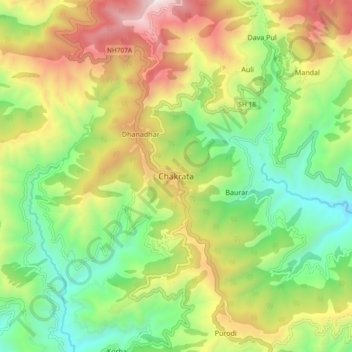
Name: Chakrata topographic map, elevation, terrain.
Location: Chakrata, Dehra Dūn, Dehradun, Uttarakhand, 248123, India (30.66132 77.83034 30.74132 77.91034)
Average elevation: 1,851 m
Minimum elevation: 1,220 m
Maximum elevation: 2,780 m