
Thank you for supporting this site ❤️
Make a donation
Make a donation
Lake Water Wheel topographic map
Click on the map to display elevation.
Thank you for supporting this site ❤️
Make a donation
Make a donation
About this map
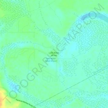
Name: Lake Water Wheel topographic map, elevation, terrain.
Location: Lake Water Wheel, San Jacinto County, Texas, United States (30.45215 -94.93049 30.49215 -94.89049)
Average elevation: 23 m
Minimum elevation: 14 m
Maximum elevation: 46 m
Thank you for supporting this site ❤️
Make a donation
Make a donation
Other topographic maps
Click on a map to view its topography, its elevation and its terrain.