
Thank you for supporting this site ❤️
Make a donation
Make a donation
Sengipatti topographic map
Click on the map to display elevation.
Thank you for supporting this site ❤️
Make a donation
Make a donation
About this map
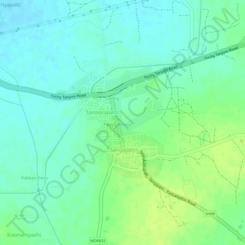
Name: Sengipatti topographic map, elevation, terrain.
Location: Sengipatti, Thanjavur, Thanjavur District, Tamil Nadu, India (10.70770 78.94788 10.72004 78.96051)
Average elevation: 79 m
Minimum elevation: 71 m
Maximum elevation: 87 m
Thank you for supporting this site ❤️
Make a donation
Make a donation
Other topographic maps
Click on a map to view its topography, its elevation and its terrain.