
As Donas topographic map
Interactive map
Click on the map to display elevation.
About this map
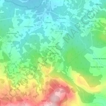
Name: As Donas topographic map, elevation, terrain.
Location: As Donas, Vilalvite, Friol, Lugo, Galice, Espagne (42.99955 -7.73538 43.03955 -7.69538)
Average elevation: 525 m
Minimum elevation: 445 m
Maximum elevation: 688 m
Other topographic maps
Click on a map to view its topography, its elevation and its terrain.