
Thank you for supporting this site ❤️
Make a donation
Make a donation
Prairie Hill topographic map
Click on the map to display elevation.
Thank you for supporting this site ❤️
Make a donation
Make a donation
About this map
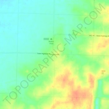
Name: Prairie Hill topographic map, elevation, terrain.
Location: Prairie Hill, Chariton County, Missouri, United States (39.49864 -92.75797 39.53864 -92.71797)
Average elevation: 219 m
Minimum elevation: 200 m
Maximum elevation: 246 m
Thank you for supporting this site ❤️
Make a donation
Make a donation
Other topographic maps
Click on a map to view its topography, its elevation and its terrain.