
Chalán topographic map
Interactive map
Click on the map to display elevation.
About this map
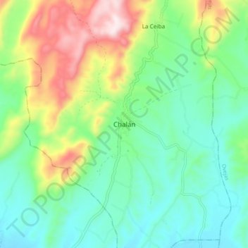
Name: Chalán topographic map, elevation, terrain.
Location: Chalán, Montes de María, Sucre, RAP Caribe, Colombia (9.50240 -75.35295 9.58240 -75.27295)
Average elevation: 303 m
Minimum elevation: 131 m
Maximum elevation: 683 m