
Saint-Édouard-de-Maskinongé topographic map
Interactive map
Click on the map to display elevation.
About this map
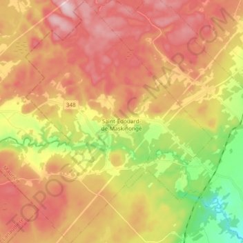
Name: Saint-Édouard-de-Maskinongé topographic map, elevation, terrain.
Average elevation: 177 m
Minimum elevation: 10 m
Maximum elevation: 313 m