
Susten topographic map
Interactive map
Click on the map to display elevation.
About this map
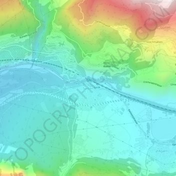
Name: Susten topographic map, elevation, terrain.
Location: Susten, Leuk Stadt, Leuk, Wallis, 3952, Schweiz (46.29093 7.62064 46.33093 7.66064)
Average elevation: 832 m
Minimum elevation: 572 m
Maximum elevation: 1,626 m