
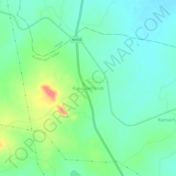
Kukudakhandi topographic map
Interactive map
Click on the map to display elevation.
About this map
Name: Kukudakhandi topographic map, elevation, terrain.
Location: Kukudakhandi, Brahmapur Sadar, Ganjam, Odisha, 761100, India (19.37240 84.73365 19.41240 84.77365)
Average elevation: 52 m
Minimum elevation: 32 m
Maximum elevation: 99 m