
Mesa topographic map
Click on the map to display elevation.
About this map
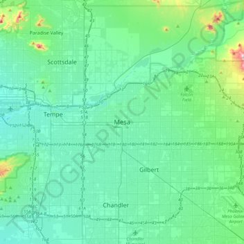
Name: Mesa topographic map, elevation, terrain.
Location: Mesa, Maricopa County, Arizona, 85201, United States (33.25511 -111.99148 33.57511 -111.67148)
Average elevation: 399 m
Minimum elevation: 317 m
Maximum elevation: 884 m