
Berrington topographic map
Interactive map
Click on the map to display elevation.
About this map
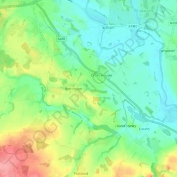
Name: Berrington topographic map, elevation, terrain.
Location: Berrington, Shropshire, West Midlands, England, United Kingdom (52.62796 -2.74466 52.68826 -2.64683)
Average elevation: 71 m
Minimum elevation: 41 m
Maximum elevation: 132 m