
Charka topographic map
Interactive map
Click on the map to display elevation.
About this map
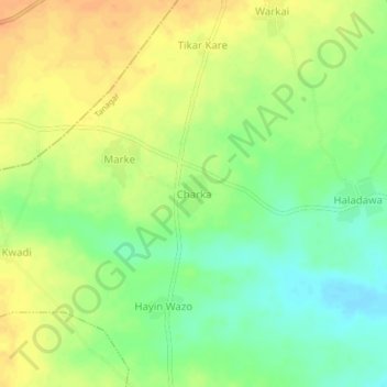
Name: Charka topographic map, elevation, terrain.
Location: Charka, Tanagar, Warawa, Kano, Nigeria (11.95820 8.67003 11.99820 8.71003)
Average elevation: 453 m
Minimum elevation: 433 m
Maximum elevation: 471 m