
Mohanur topographic map
Interactive map
Click on the map to display elevation.
About this map
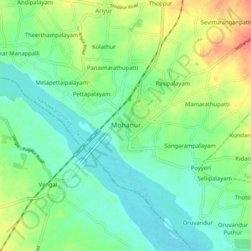
Name: Mohanur topographic map, elevation, terrain.
Location: Mohanur, Namakkal district, Tamil Nadu, 637015, India (11.02057 78.09878 11.10057 78.17878)
Average elevation: 123 m
Minimum elevation: 105 m
Maximum elevation: 158 m