
Gseng topographic map
Interactive map
Click on the map to display elevation.
About this map
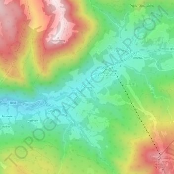
Name: Gseng topographic map, elevation, terrain.
Location: Gseng, Hallein, Salzburg, 5442, Oostenrijk (47.56425 13.43399 47.60425 13.47399)
Average elevation: 1,027 m
Minimum elevation: 715 m
Maximum elevation: 1,509 m