
Rückingen topographic map
Interactive map
Click on the map to display elevation.
About this map
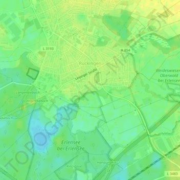
Name: Rückingen topographic map, elevation, terrain.
Location: Rückingen, Erlensee, Main-Kinzig-Kreis, Hessen, Deutschland (50.14199 8.97302 50.16700 9.01732)
Average elevation: 113 m
Minimum elevation: 102 m
Maximum elevation: 122 m