
Thank you for supporting this site ❤️
Make a donation
Make a donation
Volland topographic map
Click on the map to display elevation.
Thank you for supporting this site ❤️
Make a donation
Make a donation
About this map
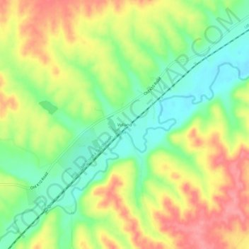
Name: Volland topographic map, elevation, terrain.
Location: Volland, Wabaunsee County, Kansas, United States (38.92445 -96.42444 38.96445 -96.38444)
Average elevation: 387 m
Minimum elevation: 346 m
Maximum elevation: 433 m
Thank you for supporting this site ❤️
Make a donation
Make a donation
Other topographic maps
Click on a map to view its topography, its elevation and its terrain.