
Ringi topographic map
Interactive map
Click on the map to display elevation.
About this map
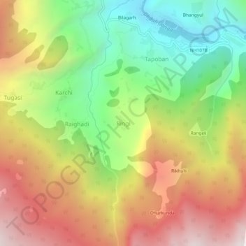
Name: Ringi topographic map, elevation, terrain.
Location: Ringi, Chamoli, Uttarakhand, India (30.45804 79.59897 30.49804 79.63897)
Average elevation: 2,506 m
Minimum elevation: 1,773 m
Maximum elevation: 3,308 m