
Yaga topographic map
Interactive map
Click on the map to display elevation.
About this map
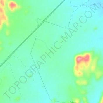
Name: Yaga topographic map, elevation, terrain.
Location: Yaga, Ganjuwa, Bauchi, Nigeria (10.52015 10.12220 10.56015 10.16220)
Average elevation: 556 m
Minimum elevation: 525 m
Maximum elevation: 652 m