
Myitkyina topographic map
Interactive map
Click on the map to display elevation.
About this map
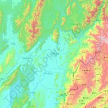
Name: Myitkyina topographic map, elevation, terrain.
Location: Myitkyina, မြစ်ကြီးနားခရိုင်, État Kachin, Birmanie (24.54801 96.67335 26.18767 97.53590)
Average elevation: 747 m
Minimum elevation: 97 m
Maximum elevation: 3,631 m