
Putten topographic map
Interactive map
Click on the map to display elevation.
About this map
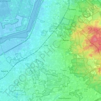
Name: Putten topographic map, elevation, terrain.
Location: Putten, Gelderland, Netherlands (52.20234 5.47419 52.29330 5.68364)
Average elevation: 18 m
Minimum elevation: -4 m
Maximum elevation: 66 m