
Mhaisal topographic map
Click on the map to display elevation.
About this map
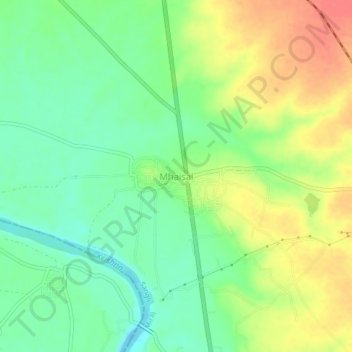
Name: Mhaisal topographic map, elevation, terrain.
Location: Mhaisal, Miraj, Sangli, Maharashtra, 416409, India (16.72642 74.68394 16.76642 74.72394)
Average elevation: 553 m
Minimum elevation: 526 m
Maximum elevation: 588 m