
Thank you for supporting this site ❤️
Make a donation
Make a donation
Agriculture topographic map
Click on the map to display elevation.
Thank you for supporting this site ❤️
Make a donation
Make a donation
About this map
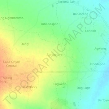
Name: Agriculture topographic map, elevation, terrain.
Location: Agriculture, Agago, Northern Region, Uganda (2.75241 33.25179 2.79241 33.29179)
Average elevation: 1,037 m
Minimum elevation: 1,018 m
Maximum elevation: 1,060 m
Thank you for supporting this site ❤️
Make a donation
Make a donation