
Thank you for supporting this site ❤️
Make a donation
Make a donation
Podor topographic map
Click on the map to display elevation.
Thank you for supporting this site ❤️
Make a donation
Make a donation
About this map
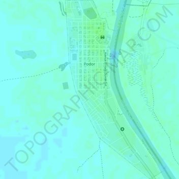
Name: Podor topographic map, elevation, terrain.
Location: Podor, Département de Podor, Saint-Louis Region, Senegal (16.63509 -14.96254 16.66245 -14.94662)
Average elevation: 6 m
Minimum elevation: 3 m
Maximum elevation: 10 m
Thank you for supporting this site ❤️
Make a donation
Make a donation
Other topographic maps
Click on a map to view its topography, its elevation and its terrain.