
Khatiya topographic map
Interactive map
Click on the map to display elevation.
About this map
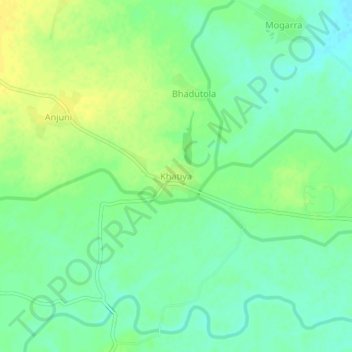
Name: Khatiya topographic map, elevation, terrain.
Location: Khatiya, Gondiya Taluka, Gondiya, Maharashtra, India (21.50147 80.23826 21.54147 80.27826)
Average elevation: 301 m
Minimum elevation: 290 m
Maximum elevation: 312 m
Other topographic maps
Click on a map to view its topography, its elevation and its terrain.