
Thank you for supporting this site ❤️
Make a donation
Make a donation
Kekri topographic map
Click on the map to display elevation.
Thank you for supporting this site ❤️
Make a donation
Make a donation
About this map
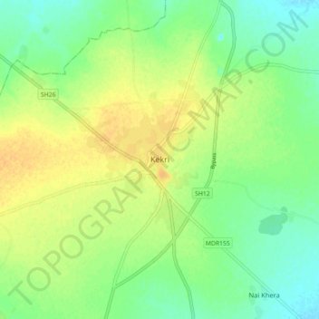
Name: Kekri topographic map, elevation, terrain.
Location: Kekri, Kekri Tehsil, Ajmer District, Rajasthan, 305404, India (25.93421 75.11457 26.01421 75.19457)
Average elevation: 353 m
Minimum elevation: 339 m
Maximum elevation: 366 m
Thank you for supporting this site ❤️
Make a donation
Make a donation