
Zgorzelec County topographic map
Interactive map
Click on the map to display elevation.
About this map
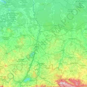
Name: Zgorzelec County topographic map, elevation, terrain.
Location: Zgorzelec County, Lower Silesian Voivodeship, Poland (50.86193 14.81737 51.46403 15.33992)
Average elevation: 259 m
Minimum elevation: 48 m
Maximum elevation: 1,123 m
Other topographic maps
Click on a map to view its topography, its elevation and its terrain.