
Sauk County topographic map
Interactive map
Click on the map to display elevation.
About this map
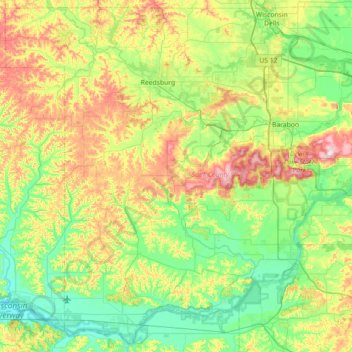
Name: Sauk County topographic map, elevation, terrain.
Location: Sauk County, Wisconsin, VS (43.14542 -90.31267 43.64196 -89.59966)
Average elevation: 290 m
Minimum elevation: 204 m
Maximum elevation: 482 m
Other topographic maps
Click on a map to view its topography, its elevation and its terrain.